

In July 2016, I travelled to explore and experience the immense beauty hidden in Pakistan’s Northern area “Gilgit Baltistan”. Our journey started on 14th July, 2016 from Islamabad and it took only few hours to land safely at Skardu airport. We travelled Skardu, Shigar, Khaplu, Hushe & Deosai plains and related areas in the region.

Nanga parbat is the peak that grabs your very first attention before landing to Skardu airport, its mesmerising and triggers the unlimited questions about Almighty and his creations.


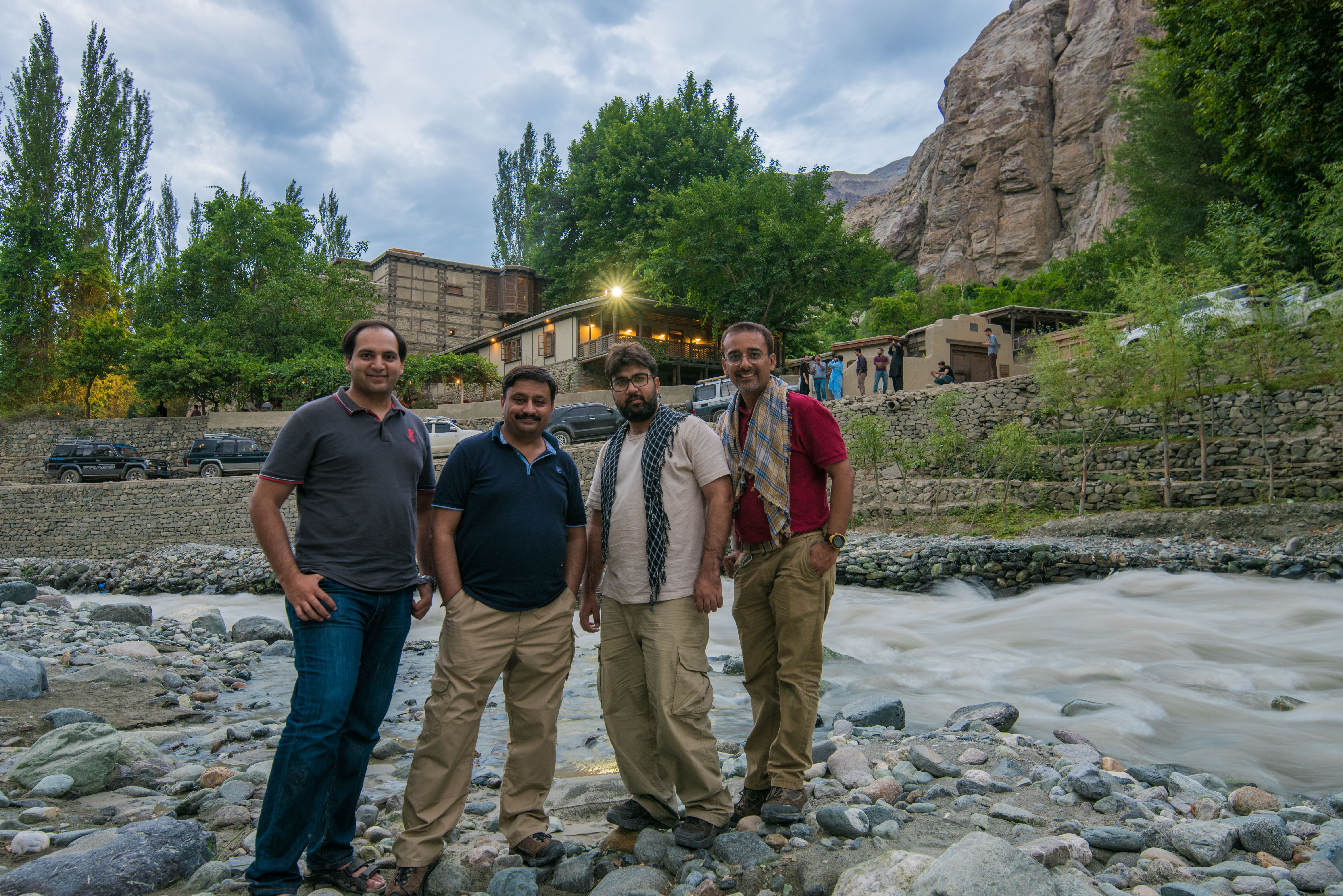
Shigar fort in the background, was built in the 17th century by the Raja of Amacha Dynasty of Shigar. Located on the legendary route to the world’s second highest mountain K-2, and known as Fong-Khar, which in the local language means the “Palace on the Rock” (source: Wikipedia)
Currently “Serena Shigar Fort” restored and converted in to heritage hotel by Aga Khan Trust for Culture and operated and managed by Serena Hotels

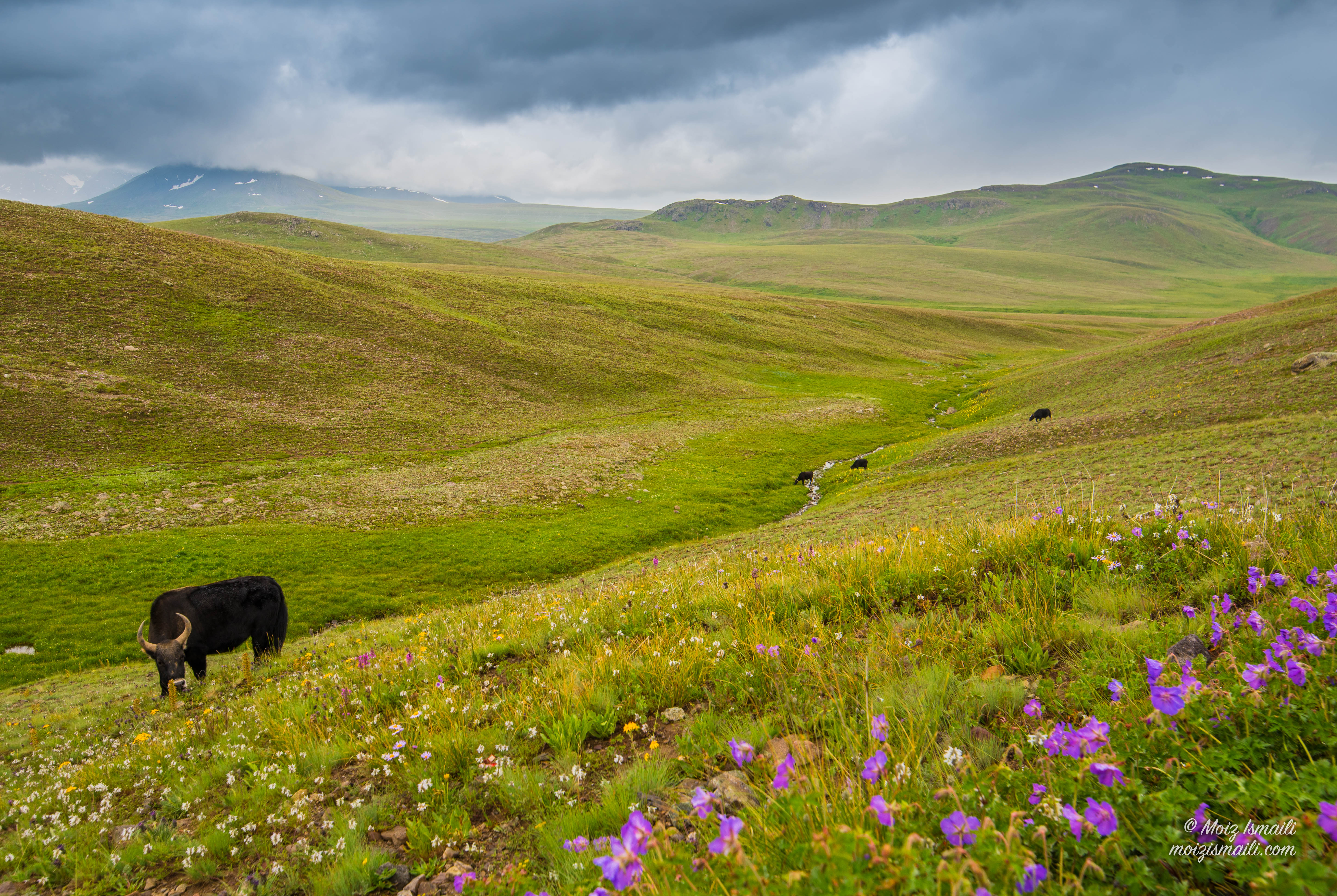
DEOSAI – The Land of Giants
The main target was to camp at Deosai plains, beauty of this place can’t be briefed, however with some pictures you will definitely get an idea.
‘Deosai’ (Urdu: دیوسای٘) means ‘the land of Giants’ in Urdu. Balti people call this place ‘Ghbiarsa’ (Balti: غبیارسہ) referring to ‘Summer’s Place’ because it is only accessible in summer. The Deosai National Park is located between kharmang, Astore and Skardu in Gilgit Baltistan. It has an average elevation of 4,114 metres (13,497 ft) above sea level, making the Deosai Plains one of the highest plateaus in the world. The park protects an area of 3,000 square kilometres (1,200 sq mi) (source: wikipedia).

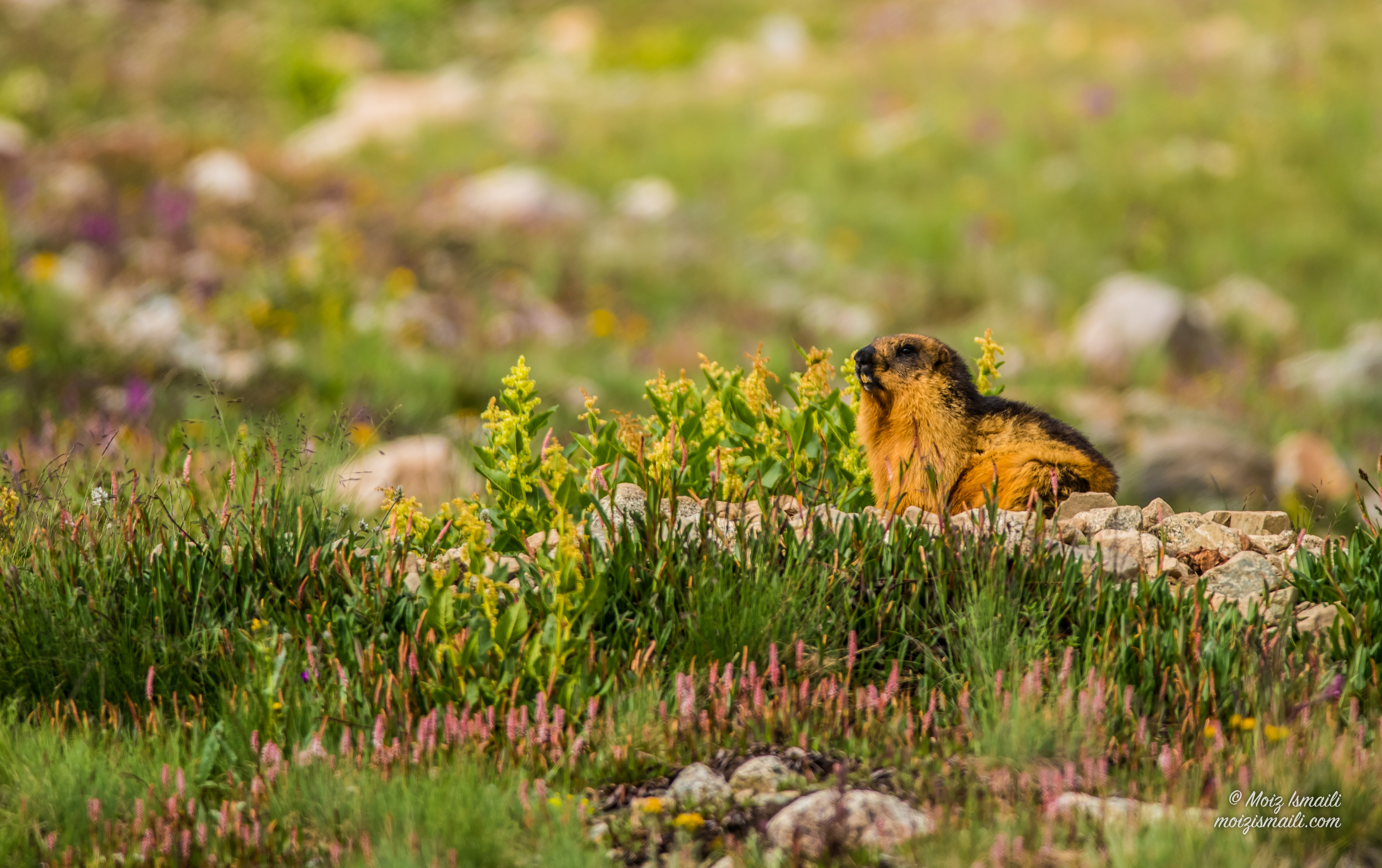
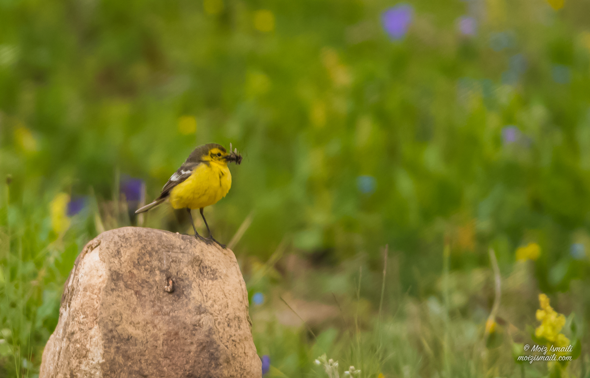
Vast range of wild life can be witnessed in Deosai National Park. Golden Marmot and different species of birds can be seen easily however for Brown Bear one has to be prepared for long hiking and lucky enough.


Spending almost 2 hours at lake in evening was worth and memorable


Camping at Deosai is a wonderful experience however, you must be ready for all surprises of weather.


Star trails photography is very interesting and demands lot of patience and luck. We tried one at Shigar to capture the same however due to windy weather we could not make it perfect one!
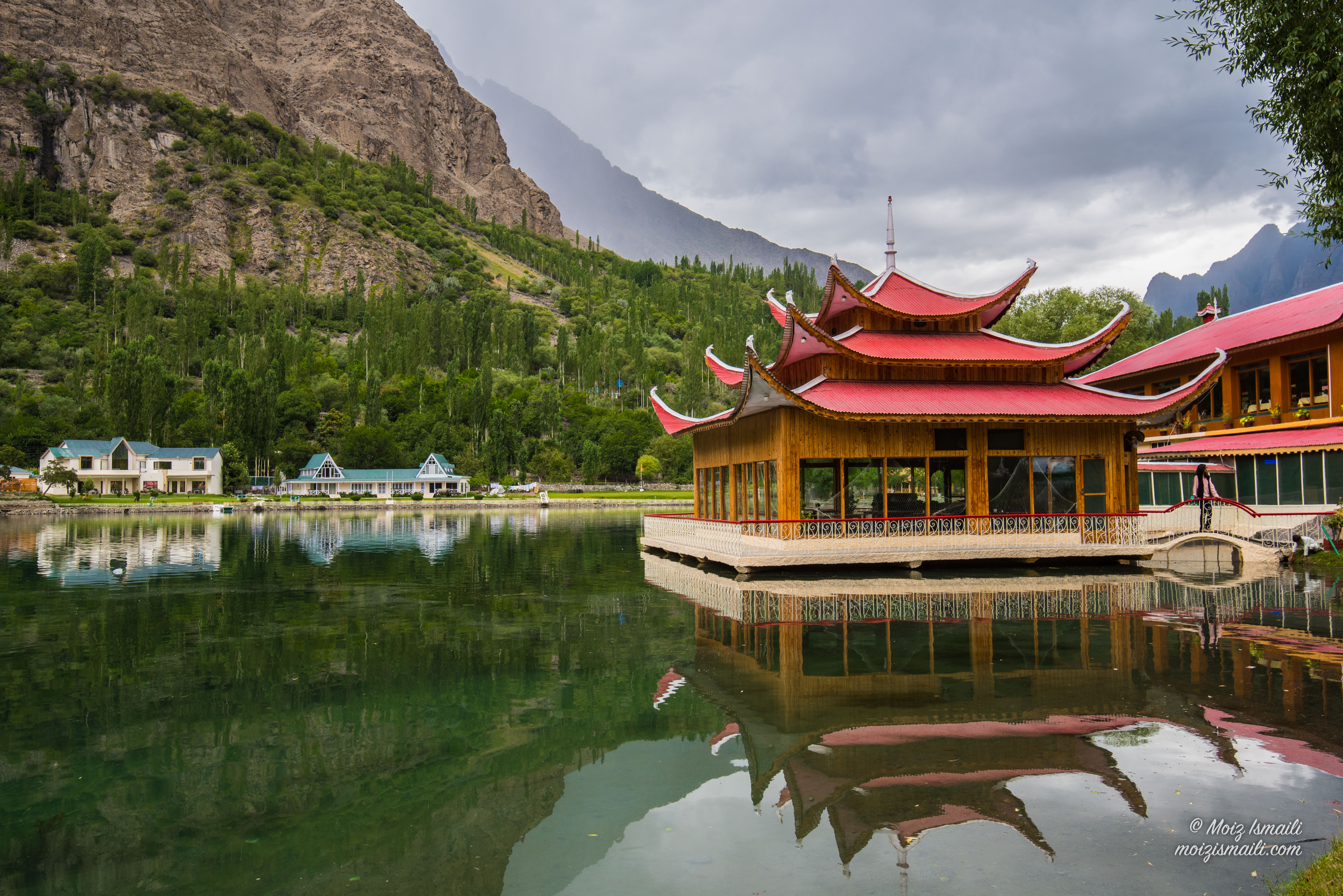
Lower Kachura Lake is located in Kachura village 20 minutes from Skardu city (nearly 2,500 m or 8,200 feet) town. The lake is known as Shangrila Lake after a resort built on its bank in 1983. (source: wikipedia)

It is a popular tourist destination, and has a unique restaurant that is built on the fuselage of an aircraft that had crashed nearby.


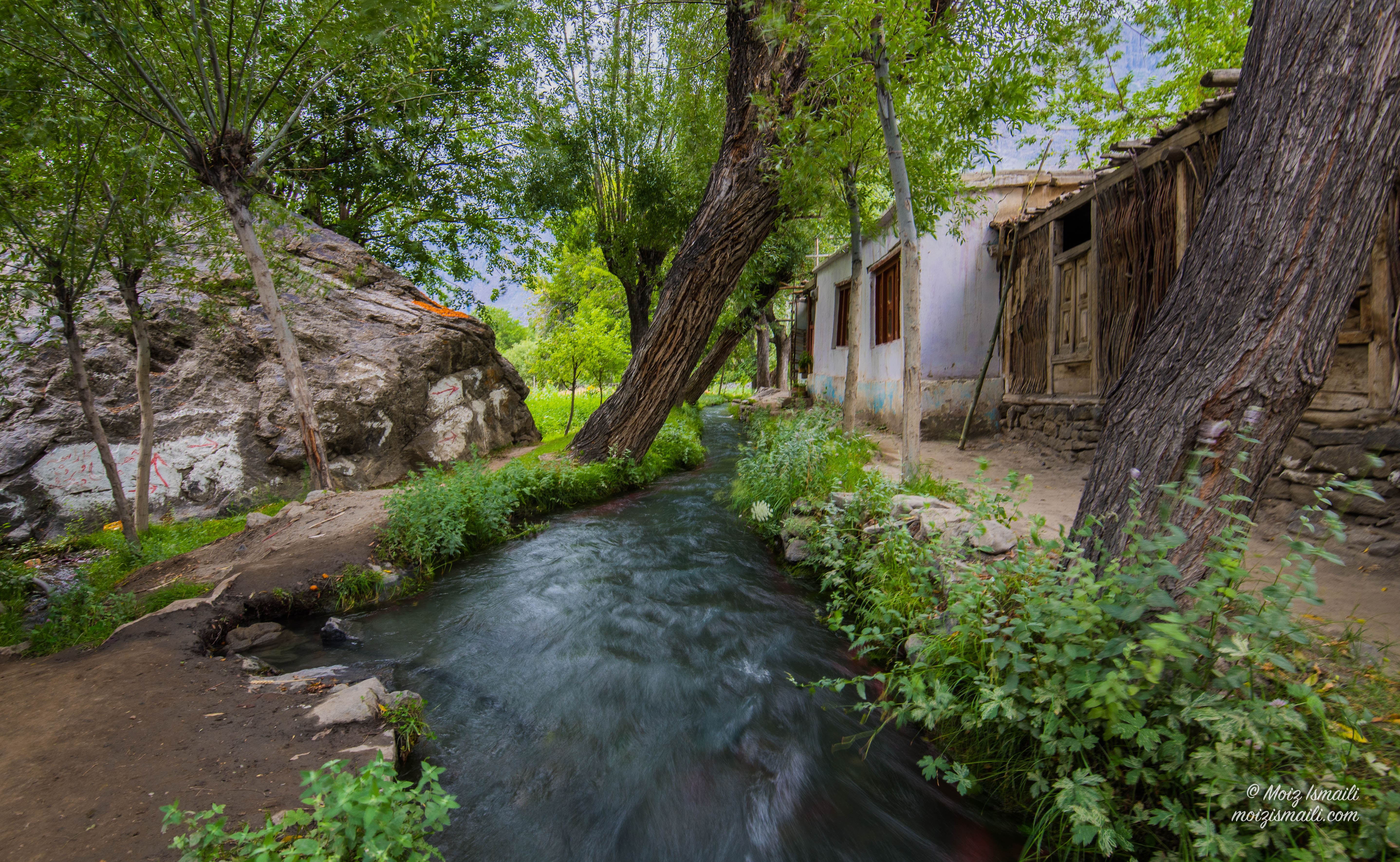
Upper Kachura Lake is of clear water and has a depth of 70 metres (230 ft).[1] In summer it has a temperature of 15 °C (59 °F). In winter the surface is frozen solid. The upper Indus River flows nearby at a lower elevation.
The beauty of the Upper Kachura Lake is almost untampered and mostly unexplored by travellers, due to lack of infrastructure owing to its rough terrain The area has a rich flora of the Western Himalayan subalpine conifer forests ecoregion, and also known for its wild apricot – Prunus armeniaca orchards. Recreation activities at Upper Kachura Lake include hiking, trout fishing, and Himalaya mountaineering. (source: Wikipedia)


Khaplu Palace (Urdu: خپلو محل; Balti: تھوقسی کھر), locally known as Yabgo Khar (meaning “The fort on the roof“), is an old fort and palace located in Khaplu, in the Gilgit-Baltistan region of northern Pakistan. The palace, considered an architectural heritage and a tourist attraction, was built in the mid-19th century, replacing an earlier fort located nearby. It served as a royal residence for the Raja of Khaplu. (source: wikipedia).
Like Shigar Fort, Serena Khaplu Palace is also restored and converted in to heritage hotel by Aga Khan Trust for Culture and operated and managed by Serena Hotels
Time-lapse clip of Serena Khaplu Palace

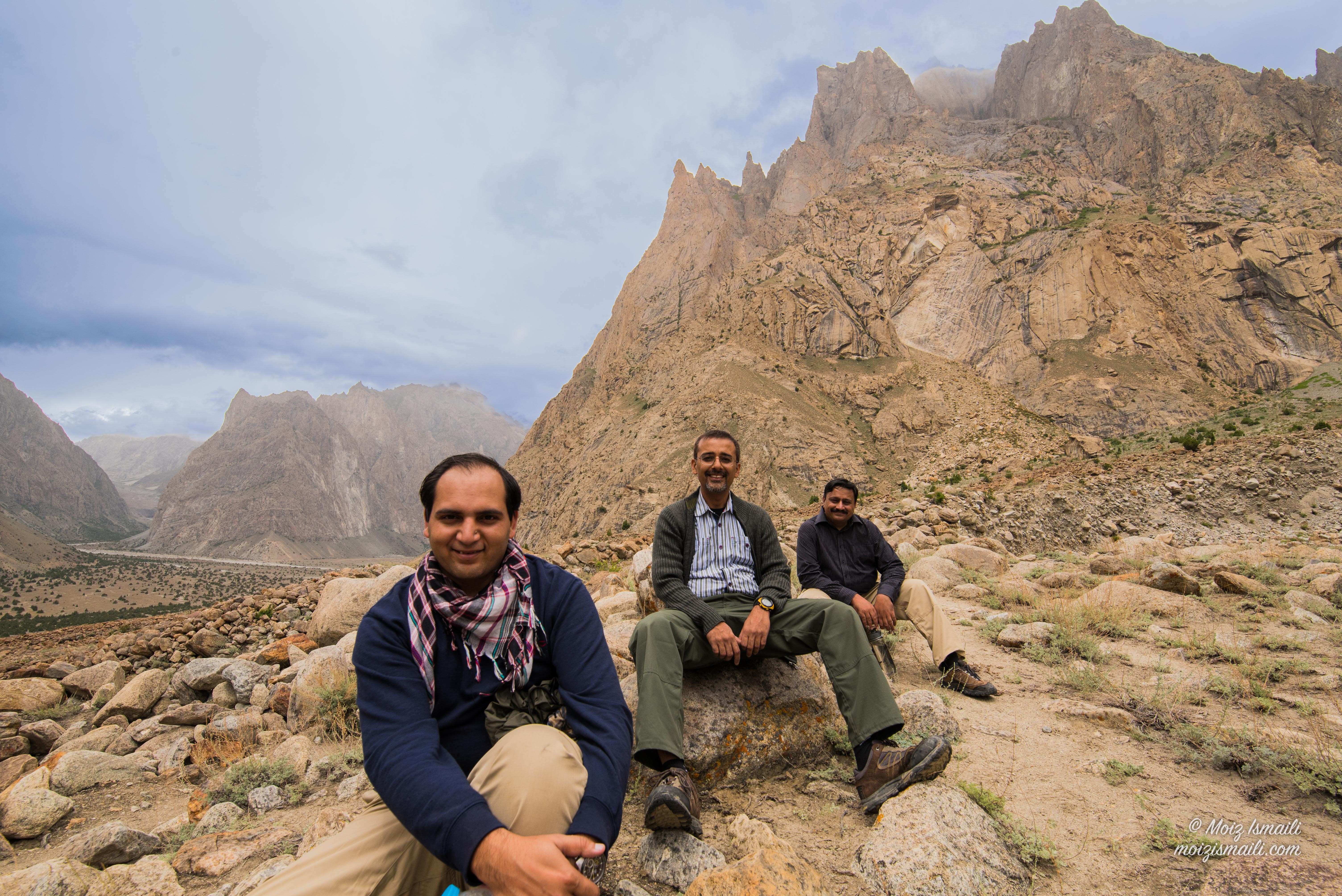
The HUSHE Valley


The Hushe Valley it self and villages on way are very beautiful and attractive. As of today these are untouched by urban values. We travelled to Hushe on a day trip, to reach there one have to opt for 4×4, from Khaplu.
The Hushe Valley (Urdu: وادی ہوشے)is a valley in Ghanche district Gilgit Baltistan Pakistan. Hushe valley is famous for its highest mountains. There are many sub valleys which are Gondogor, Charkusa, Nagma, Nanbroq and Mashabrum. This valley surrounds several peaks above six thousands meters including Laila peak, K6, K7. Murtaza peak is 5100m just behind K6 Base camp and is considered epicentre of trackers and beginners.
The Hushe Valley runs from Masherbrum Mountain (at 7,821 meters, 24th highest in the world) south to the Shyok River, opposite Khaplu. Hushe valley is one of the beautiful valley of Ghangche district (source: wikipedia).
This is an ultimate place for hikers, mountaineers and nature lovers. Every year, mountaineers from around the world travel here to explore the beautiful peaks like Mashabarum, K6, K7, Laila etc.


People of Hushe and its nearby villages are very ingenuous

Women work as hard as men, instead I observed they work more than men in this part of world
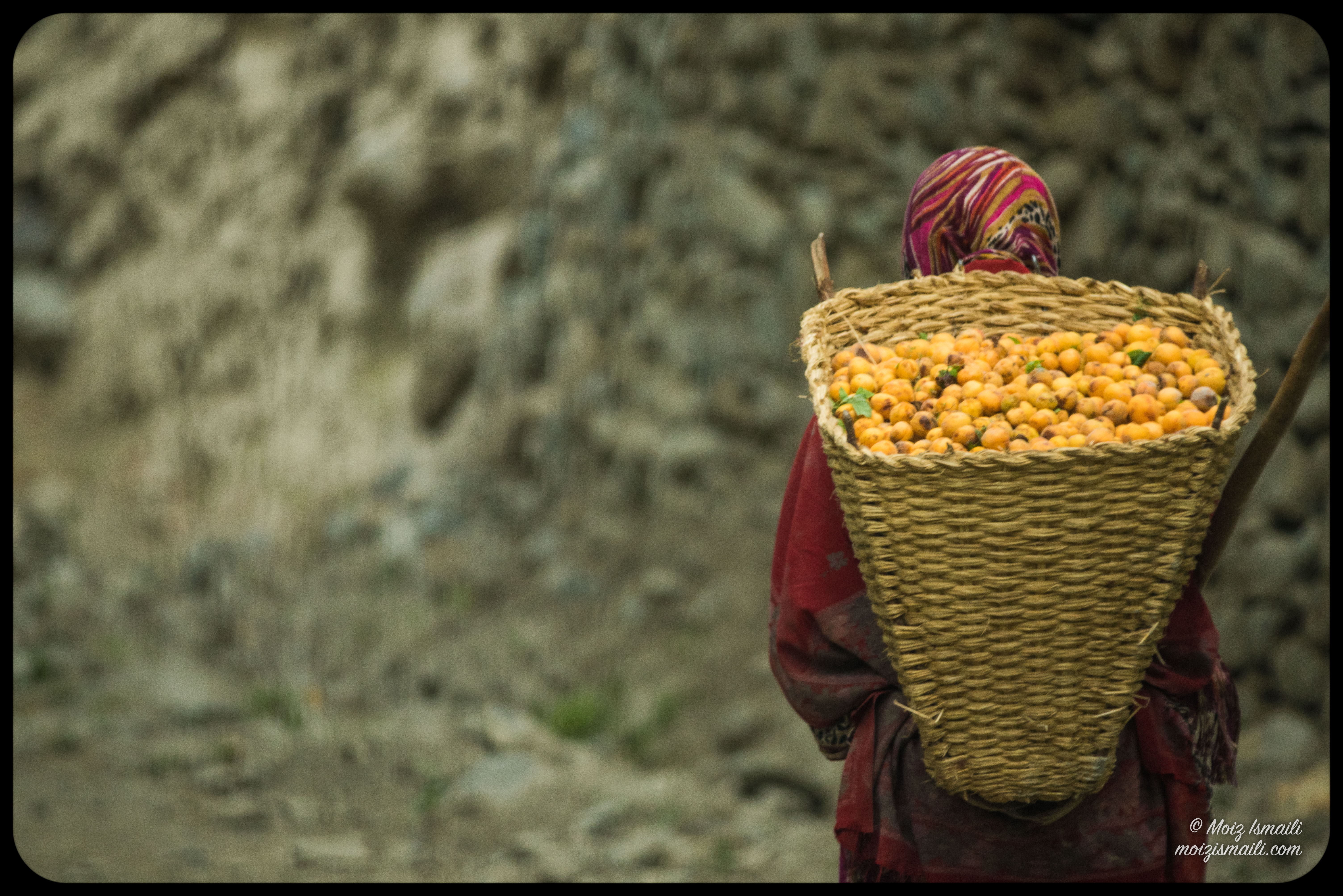
Apricot is the main crop and their food contains a lot of apricots in different shapes in daily life.

Life is tough and dangerous at many times here


© Moiz Ismaili ∴ moizismaili.com ∴ 2017

Absolutely beautiful! These pictures speak a thousand words.
LikeLiked by 1 person
Hi, I couldn’t find Jarbasu lake on a map. Can you please give its coordinates? I would like to see where it is!
LikeLiked by 1 person
Sorry its different spelling on map. Please note GPS coordinates 35°21’43.99″ N 75°42’00.27″ E or you search on google maps Jarba Zhou Lake. Regards.
LikeLiked by 1 person
Thanks a lot! 🙂
LikeLike
That is fantastic virtual tour! thanks for taking me there, very exotic! Bye. Kamila
LikeLiked by 1 person
Good to know you like it. Thx Kamila.
LikeLike
Lovely pictures Moiz 🙂 didn’t know you have this great craft 🙂
LikeLiked by 1 person